


Roads That Shaped Koraput: A Historical Journey from Trade Trails to Development Corridors
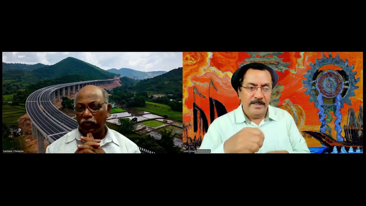
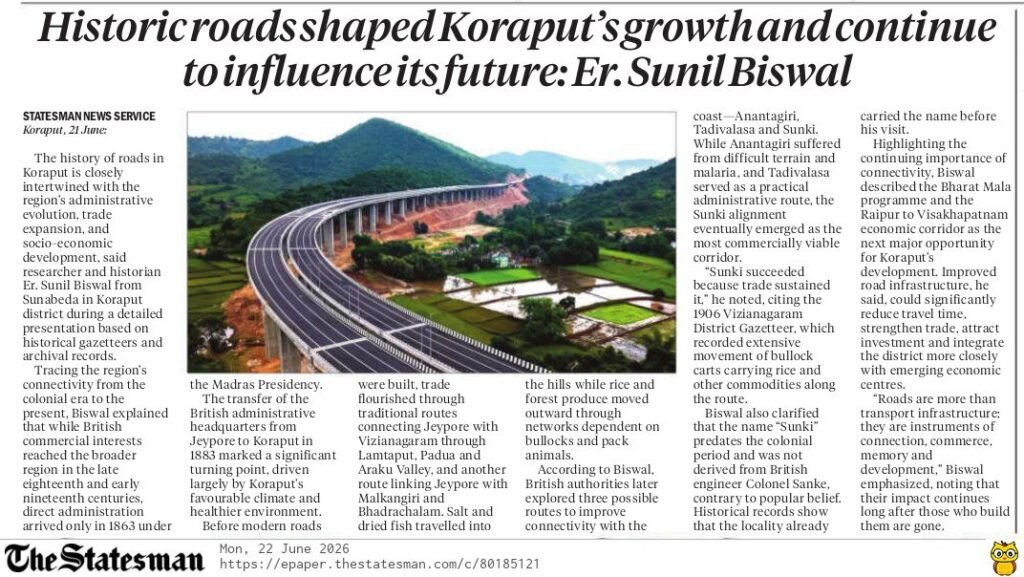
A special historical discussion on Radio Koraput traced the evolution of roads in Koraput and their transformative role in administration, trade, connectivity, and regional development. Drawing extensively from historical gazetteers and archival records researched by Er. Sunil Biswal , the speaker highlighted how transportation networks have influenced Koraput’s growth from the colonial period to the present day.
Early British Presence and the Emergence of Koraput as an Administrative Centre
Although British commercial influence reached the broader region during the late eighteenth and early nineteenth centuries through revenue and trade arrangements with local rulers, direct administration arrived much later. In 1863, Koraput came under the Madras Presidency’s administrative framework. Initially, governance was supervised from Visakhapatnam through revenue agents and law enforcement officials.
At that time, the princely state’s capital had already shifted from Nandapur to Jeypore. However, Koraput’s cooler climate and comparatively healthier environment made it increasingly attractive to British officials. These advantages eventually led to the transfer of the British administrative headquarters from Jeypore to Koraput in 1883, establishing the town as the region’s administrative hub.
Trade Routes Before Modern Roads
Before the construction of all-weather roads, Koraput was connected to the coast and neighbouring regions through traditional trade routes. Two major corridors linked the highlands with markets beyond the hills:
- Jeypore–Lamtaput–Padua–Araku Valley–Vizianagaram
- Jeypore- Malkangiri–Bhadrachalam
Goods such as salt and dried fish moved into Koraput, while rice, forest produce, and other local products were transported outward. Transportation depended largely on bullocks, horses, and pack animals. During this period, Sunki remained a relatively unknown and remote location.
The Search for a Coastal Connection
Recognising the need for improved connectivity between Koraput and the coastal centres of Visakhapatnam and Vizianagaram, British administrators evaluated three possible road alignments:
- Anantagiri Route through Araku Valley
- Tadivalasa Route through Pottangi
- Sunki Route through Pottangi, Sunki, and Salur
Each route offered unique advantages. The Anantagiri alignment attracted considerable engineering interest but faced repeated setbacks due to malaria, rugged terrain, and monsoon damage. The Tadivalalasa route appeared shorter and administratively practical. However, the Sunki route ultimately proved to be the most sustainable and commercially viable option.
Tadivalasa: The Administrator’s Road
A British administrator named Turner championed the Tadivalasa alignment. Although not an engineer, he selected a route that ensured access to water sources for animals transporting goods. The road was constructed relatively quickly and became operational before the Sunki road was completed.
Despite its early success, the Tadivalasa road involved steep descents of nearly 3,000 feet over approximately 20 kilometres, making long-term transport difficult. Once the Sunki road became motorable, trade and traffic gradually shifted away from Tadivalasa , which eventually fell into disuse and was reclaimed by vegetation.
The discussion memorably described Tadivalasa as the “administrator’s choice” and Anantagiri as the “engineer’s choice.”
Sunki: A Road Sustained by Commerce
The Sunki corridor emerged as Koraput’s most successful historical road because it was supported by strong commercial demand. After its completion, trade expanded rapidly. Markets such as Dhumuriput flourished, facilitating exchanges between Koraput and the coastal plains.
According to the 1906 Vizianagaram district gazetteer, bullock carts regularly travelled deep into the region to procure rice, while coastal products such as salt and dried fish moved inland. The road transformed Sunki from an obscure location into Koraput’s principal gateway to external markets , Er.Biswal added.
Road Development After Odisha’s Formation
The creation of Odisha Province in 1936 altered regional planning priorities. Under British administration, road networks had primarily connected Koraput with centres in present-day Andhra Pradesh. Following Odisha’s formation in 1936 , greater emphasis was placed on strengthening internal connectivity within the state.
Roads linking Koraput with Rayagada, Narayanpatna, and other parts of Odisha were gradually improved, reinforcing administrative integration and economic development.
The Story Behind the Name “Sunki”
Er.Biswal also addressed a popular misconception regarding the origin of the name Sunki. Contrary to local belief, the name was not derived from a British engineer who allegedly died of malaria.
Historical records indicate that “Sunki” was already the area’s traditional name. Colonel Sanke, a senior engineer of the Madras Presidency, visited the region later and was reportedly surprised to find a place bearing a name similar to his own. Thus, the place name predated the colonial officer.
Jubilee Ghat and Expanding Internal Connectivity
Another important road project discussed was Jubilee Ghat, which was constructed to facilitate a governor’s visit to Jeypore. The princely state and government jointly financed the route, which was completed rapidly. The road was named in connection with a British jubilee celebration and became an important link in the region’s internal transport network.
Bharat Mala: Koraput’s Next Development Opportunity
Drawing parallels between historical road projects and contemporary infrastructure investments, the Er.Biswal identified the Bharat Mala programme as the next major opportunity for Koraput’s transformation.
Particular emphasis was placed on the Raipur–Visakhapatnam economic corridor, much of which passes through Odisha. Improved highways are expected to reduce travel time to Visakhapatnam significantly, strengthen trade, attract investment, and enhance regional competitiveness. Er.Biswal argued that Koraput must be prepared to leverage these opportunities in the same way earlier generations benefited from the Sunki corridor.
Roads as Part of Koraput’s Social Memory
Beyond their economic value, roads were portrayed as central to everyday life. Education, healthcare, governance, trade, and social interaction all depend on connectivity. Historical references were made to tax collection routes during the princely period, where elephant caravans halted at intervals of roughly 22 kilometres, creating a network of staging points across the region.
Examples from Semiliguda, Boriguma, Nabarangpur, and other locations illustrated how roads have long shaped settlement patterns and public life.
More Than Transport Routes
The discussion concluded with a broader reflection on the enduring significance of roads. Like the Grand Trunk Road in northern India and the historic Jagannath Sadak in Odisha, roads outlive the governments and rulers who build them. They become part of collective memory, facilitating commerce, cultural exchange, and social progress across generations.
The speaker’s central message was clear: roads are not merely physical infrastructure. They are instruments of connection, development, and historical continuity that shape the destiny of regions and the lives of the people who inhabit them.
The programme ended with appreciation for Er.Sunil Biswal , whose study of the Vizianagaram Gazetteer and related historical records helped bring these lesser-known chapters of Koraput’s history to Radio Koraput listeners.